15. NAVIGATION TOOLS
15-2
15.2 Radar Overlay
If the Echo page is enabled at installation, you can show the radar echoes “overlaid”
on the chart (Voyage navigation mode only).
Note: For B type radars, the [Echo] page is not available.
This ECDIS has many features to support exact match in scale and orientation of the
chart and radar echo image. Exact match of the radar echo image and chart is an es-
sential security feature. If the radar echo image and the chart display match, then the
mariner can rely on what he sees and the mariner also gets a very good confirmation
that his navigation sensors (such as gyro and position receivers) operate properly and
accurately. However, if the mariner is unable to achieve exact match, it is a very strong
indication that something is wrong and he should not rely on what he sees.
Selected scale of displayed chart also defines scale of radar overlay. When you
change the chart scale, the scale of the radar overlay is automatically changed. The
table below shows the standard scale and equivalent radar range.
Radar
range (nm)
Standard
scale
Radar
range (nm)
Standard
scale
0.25 1:4,000 6 1:90,000
0.5 1:8,000 12 1:180,000
0.75 1:12,000 24 1:350,000
1.5 1:22,000 48 1:700,000
3 1:45,000 96 1:1,500,000
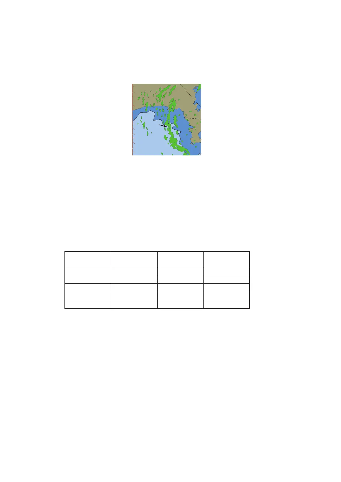
Radar
echo
 Loading...